What to bring on our navigation courses
Updated 23rd October 2024
I originally wrote this post in 2020. It was the era of social distancing when sharing maps, compasses and other materials was considered a risk. For current courses, candidates are welcome to borrow maps and compasses from us as well as laminated copies of our printed materials. If you need to buy or print out any maps or other materials before the course we’ll let you know in the joining instructions.
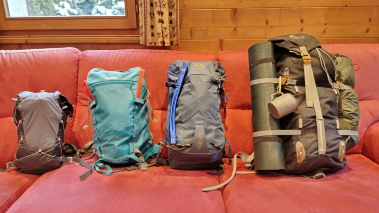
In general, you’ll need access to some sort of map and compass, a pen(cil) and paper, suitable outdoor clothing and footwear for the length of the course, and food and drink.
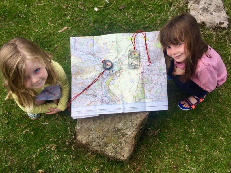
Children and family navigation courses
You’ll need to bring the following items on the day:
- Maps (you can print these yourself – details will be in the joining instructions)
- Compass (any sort of compass will do, including a compass app on a phone)
- Pen or pencil
- Paper (or write on the back of the maps you have printed)
- Suitable outdoor clothes for the weather on the day
- Snacks and a drink
If you don’t have a compass, you can download a compass app for most smartphones. As long as it tells you where north is it is good enough. If you don’t have a compass or a suitable phone, we will have a couple of spare compasses available to use at your own risk.
The majority of the course will be run outdoors with some small indoor elements. In the event of bad weather we will move inside, but if it is only mild bad weather, light rain etc. we will continue to work outside.
Two-day NNAS navigation courses
You’ll need to bring the following items on the day:
- IGN Top 25 map for the area – we’ll let you know which sheet depending on the course location and you can normally borrow one from us
- A4 paper maps (you can print these yourself or borrow a laminated copy – details in the joining instructions)
- Compass
- Pen or pencil
- Paper
- Suitable clothes and footwear for a day hike
- Food and drink for a day hike
For the Bronze Navigator course, we would normally loan out compasses and IGN maps to candidates without these. If you are attending a Silver Navigator course, we would expect you to own a suitable compass – ask us if you’re unsure
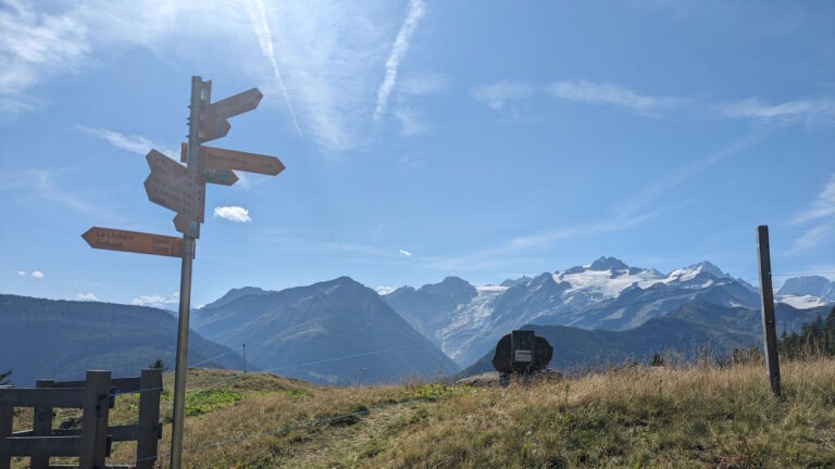
Maps for NNAS Courses
If you want to print out some resources in advance of the courses, here are the IGN and orienteering maps we usually use in laminated A4 format.
Printable Les Deux Alpes maps
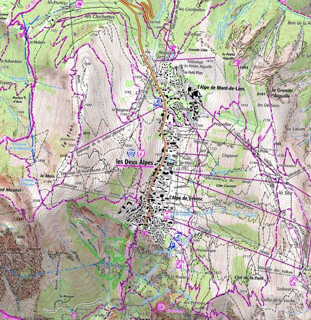 Please print out the large scale map of Les Deux Alpes south from this link. If you want to print out 1:25 000 maps for the Bronze course, rather than buy your own, you will need the area shown to the right (click the image to enlarge it). You will need to cover an area including La Moliere in the top left, Les Perrons at the bottom and la Grande Aiguille at the top right. Depending on your devices, you will probably need at least two sheets of A4. Make sure you set the scale to 1:25 000. If you have any difficulties with this, please let us know.
We may visit the permanent orienteering courses at either Auris or the Col d’Ornon. In this case, you will need to print out the orienteering maps for these locations. We will let you know before the course if this is necessary.
Printable Chamonix Valley Maps
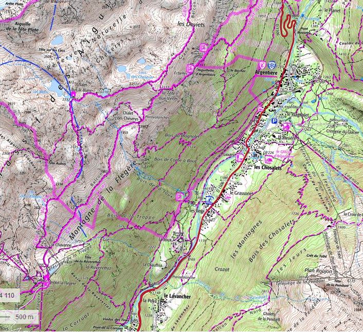 Please print out the large scale map of Argentiere/Grand Montets lift station from this link. If you don’t want to buy the IGN Top 25 map, you’ll need to print out the area shown to the right (click to enlarge) at 1:25 000 from Geoportail. You will need to cover an area which includes, as a minimum, the Flegere top lift station in the bottom left, Lac Blanc to the top left, Argentiere village top right, and Le Lavancher at the bottom.
Bourg d’Oisans
 Although there is an IGN map (3335ET) titled Le Bourg d’Oisans l’Alpe d’Huez, we may well use IGN 3336ET Les Deux Alpes for courses in Bourg as the town is on the boundary between the two maps. We will let you know before the course which map to buy, but we will be most likely to use the Deux Alpes map for the Bronze course and the Bourg d’Oisans map for the Silver.
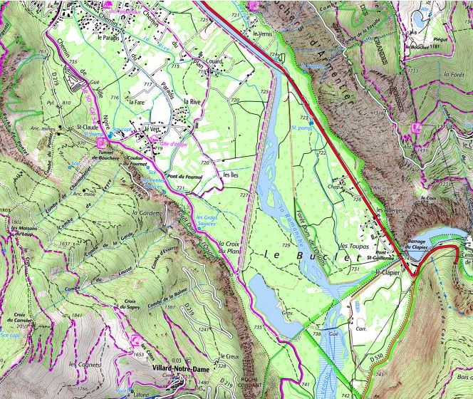
For the Bronze course only, please print large scale map one and large scale map two of the area south of Bourg d’Oisans. You will also need to print the Adult orienteering map from the downloads section on this Oisans Tourist Office page.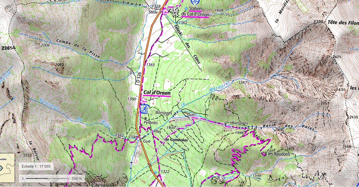 If you want to avoid buying the IGN map, you can print the two areas shown to the right at 1:25 000. You will need the area south of Bourg on day one and the Col d’Ornon on day 2.