
TMB ou Haute Route?
Which long-distance hike is for you?
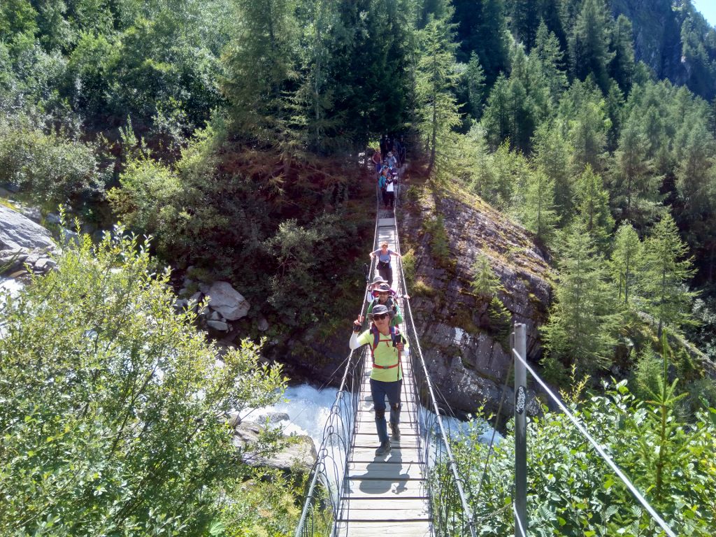
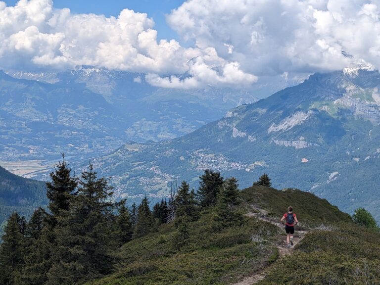
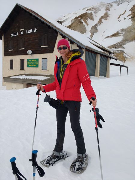
Chamonix has long been a centre for mountain sports of all kinds, and this definitely includes long-distance treks like the TMB. Many hikes of all lengths pass through the valley, from a riverside stroll to a months-long traverse of the Alps.
Given ten days to a fortnight, there are two famous long-distance walks starting from Chamonix, the Tour du Mont Blanc and the Chamonix-Zermatt Walkers’ Haute Route. If you are thinking about embarking on one, you might want to consider how they compare.
If you want to experience these trips, have a look at our four-day TMB group trek, Walkers’ Haute Route highlights or one-week TMB. Or you could contactez-nous to enquire about a bespoke trip.
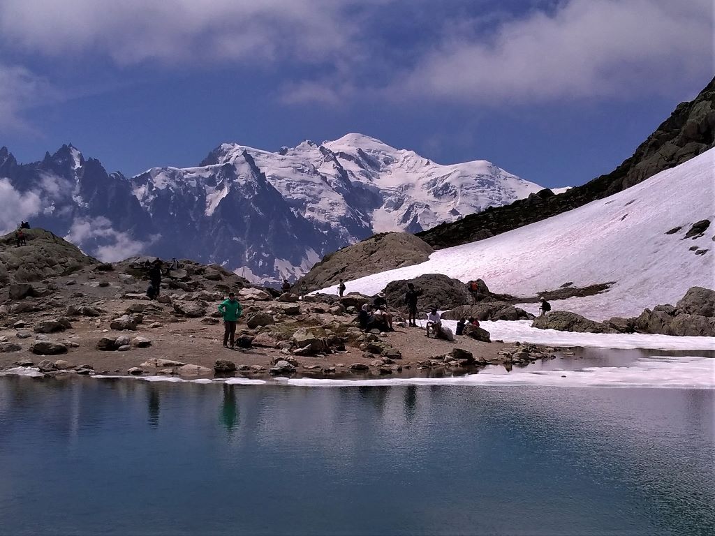
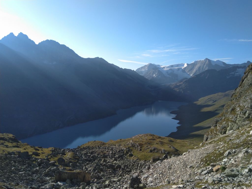
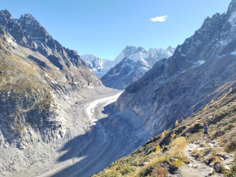
The Tour du Mont Blanc, or TMB, makes a complete circuit around the Mont Blanc massif, most commonly with a start and finish point in the Chamonix valley. It passes through seven different valleys which surround Mont Blanc, and the mountain itself is visible for large parts of the route.
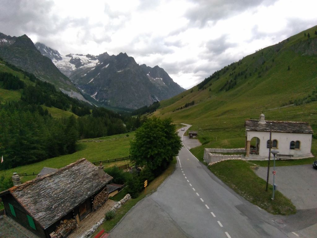
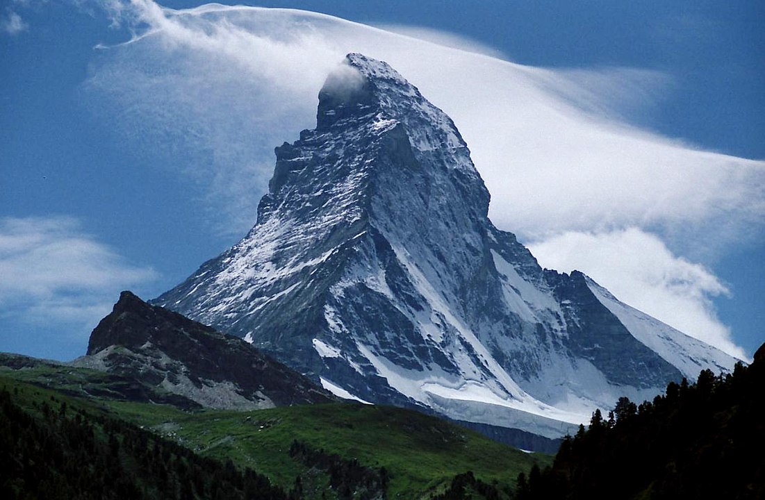
The Chamonix-Zermatt route is often called the Walkers’ Haute Route to differentiate it from the higher altitude skiing or mountaineering Haute Route. It takes a route from the foot of Mont Blanc to the foot of the Matterhorn. This involves some sustained high-level sections and numerous Alpine passes and valleys.
Both routes have many variations and can be done in either direction. Being circular, the TMB can also be started at any point on the route. Because of the numerous options, the distances and timings given below are approximate and depend on the actual route taken.
Difficulty
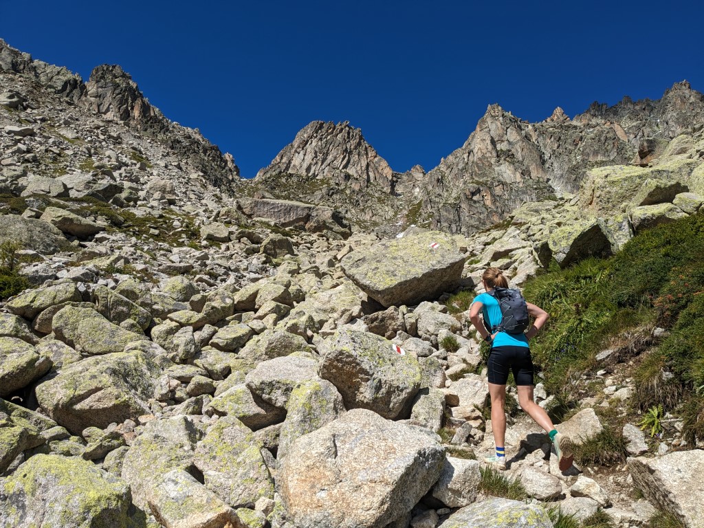
Among the famous long-distance walks of the European mountains, the Tour de Mont Blanc ranks as being reasonably accessible. The standard route only goes above 2500 metres three times – at the Col de Seigne, Grand Col Ferret and Brevent, and most days are around six hours’ walking time by Naismith’s rule. The totals of 170km and 10 000 metres climbing are impressive, but averaging 17km and 1000 metres per day is attainable for a moderately fit hiker. This is equivalent to climbing Snowdon or Scafell Pike from sea level each day.
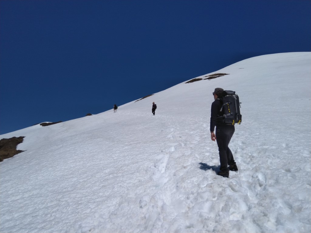
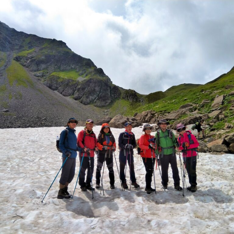
Judged by the statistics, the Walkers’ Haute-Route appears only a little harder than the TMB. At 180km and 12 000m ascent, the daily averages are similar or slightly smaller if tackled over 12-14 days. However, the reality is that this is a much more difficult route. Although not the toughest trek in Europe, this is certainly up there as a challenge. A couple of easy days give a welcome respite, but you have to work harder for the rest of the route to make up that total altitude. A succession of passes above 2800m ensure a physically demanding trek. Five of these are crammed into just two days, between Cabane de Mont Fort and Arolla. The technical difficulty is significantly harder than the TMB as well. Although the difficulties are not sustained, high crossings such as the Col des Chaux and the Pas de Chevres require concentration.

Culture
Both routes pass through idyllic mountain valleys with remote villages and long-established farms. You will experience traditional mountain cuisine and the heritage of the high Alpage. In these regions can feel like the way of life has not changed for decades.
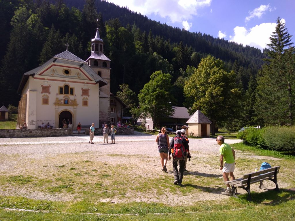
The TMB passes through three countries, each with its own version of the Montagnard culture. French is spoken along most of the route, but you will normally spend around three days in Italy so Italian is useful as well. The Italians are justly proud of their espresso coffee, and a night in Courmayeur is an opportunity to sample authentic Italian cuisine.
The Haute Route also passes through mainly French-speaking regions. French is spoken as far as Zinal, nine or ten days in. From Gruben onwards the language is German. Unlike the Italian part of the TMB where you can normally get by in French, the change in language is sudden in Switzerland. Many people in Zinal speak no German, while most in Gruben speak little French.
Facilities along the route
Another difference stems from the different nations’ approaches to the mountain economy. In Switzerland, you will see more small-scale farming and less tourist infrastructure in the valleys you walk through. In France, you will find more cafes and buvettes dotted around the mountains. Perhaps because of its history as a major ski resort, the Chamonix valley feels far more developed than other parts of the TMB. However, almost every stage of the TMB has numerous places to stop for lunch or refreshments if you don’t want to carry a picnic. This is still true for the Swiss and Italian parts of the route, but the valleys are less crowded than Chamonix.
On the Haute Route, the further you get into Switzerland the scarcer the facilities become. After Le Chable, finding refreshments on the route is much less common. And after Le Chable, you won’t be able to withdraw cash until Zinal, six days later. Shops get rarer too, but most overnight accommodation options will provide you with a packed lunch for the following day. Zermatt itself is a large resort town with plenty of facilities, but on the approach to it, there is only the occasional mountain refuge and a handful of restaurants along the valley floor.
When to do the Haute Route or TMB
Although hiking in the Alps is possible from late-May until well into the autumn, the season for these long walks is limited by both weather conditions and by the availability of accommodation. Snow cover persists well into the summer in the higher pastures.
The TMB has a longer season, with treks beginning early in June. For early season treks, the biggest problem is the snow cover, which in some years can make certain sections impassable. In June you will need to be prepared to alter your route, and the more challenging variations are not usually feasible. At the other end of the summer, September brings quieter paths and the weather is often settled. But the temperature is dropping and most accommodation shuts down at some point in the month. By October it is very difficult to complete the route unless you are self-sufficient with a tent.
The Haute Route is trekked infrequently before late-July, as the snow lies on the high crossings until then. It is not uncommon to finish in early-September, but after this accommodation can be a problem. The cooling temperatures in September mean that bad weather can bring snow to the high passes instead of rain. Going late increases the risk of not completing the route.
Fact files
Tour de Mont Blanc (TMB)
|
Chamonix-Zermatt
|
Conclusions
These are both excellent and challenging routes. If you want an accessible long-distance walk that is still a big achievement then the Tour de Mont Blanc might suit you. If you want a tougher challenge, a longer trip, or you are going in July/August and don’t like crowds, then the Walkers’ Haute Route could be just what you are looking for.
Whichever you pick, make sure you are properly prepared. Both treks demand a good level of fitness and a head for heights. And remember that the weather can be changeable. Over the course of ten days or more in the mountains, you will probably have a mixture of good and bad weather. Carry waterproofs and some warm layers, as well as sun-cream, sunglasses and a hat.
Either walk should be a great experience that you remember for a long time. However, there are many more great long-distance walks in the Alps and beyond. The fact that some are less famous is a bonus, as they feature equally good walking with fewer crowds. Routes to consider are the GR54 Tour des Oisans, the GR20 Corsican Haute Route and the Alta Via Routes in the Dolomites. There are also some much longer routes such as the GR5 (Geneva to Nice) or various variations of the Pyrenean Haute Route from the Mediterranean to the Atlantic. These typically take months to complete, but it can be well worthwhile to do a week or two-week section at a time.
If you are interested in a guided trip, you could join our four-day TMB, Haute Route Highlights ou one-week TMB group treks, or contactez-nous to organise a bespoke tour of the full TMB or Haute Route.
Thanks for the great summary. You’ve helped me chose my route for this Summer.
Thank you for this most informative article! We have found it most interesting. We would like to ask your advice here: We’ve alway wanted to walk the Haute Route, and have finally managed a trip to Europe (Covid prevented this for 2 years). We are from South Africa and have very limited time. (6 days). In order to get a real feel for the route, we thought we would like to do about 2 days each around the beginning, middle and end of the route, coming down to the main valley to get to each next place. We will obviously start at Chamonix and end at Zermatt, but can you advise us on which part of the middle section of the route would be accessible and doable? And whiter to end the first two days begin the middle two days and begin the last few days – into Zermatt. This would be very helpful to us.
Looking forward to your response,
Kind regards, Robert and Caryn Mulder
Hi Robert and Caryn,
Great question, I hope you have a fantastic trip. Here are some thoughts to get you started with the planning.
Your first two days should take you from Chamonix to Champex. Day 1, take the bus to Le Tour and go to Trient via the Posettes arete and Col de Balme. Or if you are very fit and want a long day, take the Flegere cable car from Les Praz and walk to the Trelechamp before climbing to Posettes and Col de Balme. Day 2, go over the Fenetre d’Arpette to Champex, or if the weather is bad take the Bovine alpage route. Take the bus to Le Chable and spend the night there. Day 3, use the Verbier lift system to skip the climb to Mont Fort and hike to the Cabane de Prafleury. Day 4, hike from Prafleury to Arolla via Lac de Dix and Pas de Chevre. These two long days of spectacular and remote hiking are some of the best on the whole route.
From Arolla, take buses and trains to your next starting point, either Zinal or Graachen. This could be the tricky bit as it is 3-4 hours by public transport – plan ahead and make sure you don’t miss the last bus from Arolla, or pre-book a taxi since it is only about 2 hours by car. The SBB (Swiss railway company) mobile app is probably the easiest way to find and book buses and trains.
For the last two days, the standard final day along the valley to Zermatt is a bit dull, so I’d suggest two alternatives:-
1. Start from Zinal and hike the third-last and second-last days of the route, to Gruben and then St. Niklaus, then take the train to Zermatt.
2. Start from Graachan and hike the Europaweg to Zermatt via the Europahutte.
Obviously all the usual disclaimers apply – there are some serious mountain passes close to 3000m altitude along the route so doing your own research and proper preparation are important. I hope this is all useful. Please do let us know how you get on.
All the best,
Ian
Hi,
That is excellent summery,
I’m from US, and will have 8 hiking days, would you be able to suggest an itinerary.
I will be landing at Gevenva and taking off from the same place back to the US.
I think I’m relatively fit, I can do 20K at altitude (2500m to 3000m) a day, for multiple days.
I really appreciate any help you can provide.
Hi Kevin,
With 8 days, you could easily do a version of the TMB – lots of people skip the sections from Riffugio Elisabetta to Courmayeur and from La Fouly to Champex by taking a bus, which would make it 8 days hiking. Others hike from Les Houches to Le Tour, missing out the two days in the Chamonix Aiguilles Rouges to get back to Les Houches. If you are fit you can extend the days as much as you want since there are accommodation options all along the route. E.g. Les Houches-Nant Borrant (an hour or two past les Contamines), Nant-Borrant-Refuge Mottets, Mottets-Courmayeur, Courmayeur-Riffugio Elena, Rif. Elena-Champex, Champex-Trient, Trient-Flegere, Flegere-Brevent-Les Houches for an 8-day trek.
If you prefer the sound of the Haute Route, it would be hard to complete in 8 days, due to the size of the days and the lack of accommodation between the usual stopping points. A good choice would be to hike from Le Chable to St Niklaus, missing out the beginning and end of the standard route. This would cover most of the interesting sections including the highest and wildest terrain on the route.
For transport, if you do the TMB option there are plenty of companies offering minibus transfers from Geneva airport to the Chamonix valley, as well as public bus services. For the Haute Route option, take the train to Le Chable, changing trains in Martigny. For the return, you can get a train from St. Niklaus back to the airport, changing in Visp.
If you are planning the trip for this year, book the accommodation as soon as you can. The TMB refuges are getting pretty full, and some of the Haute Route hotels are busy as well.
Have a great trip and let us know how you get on.
Thanks so much for your reply.
My trip starts beginning of September this, hope the accommodation won’t be as busy as the peak season?
Hi Kevin, did you do the TMB this September? How was it?
Hi there,
I hiked the TMB last year and really enjoyed it. Tough but not crazy. This year (late August) I plan to hike the WHR with my adult son.
– While I have a long history of hiking, I do not have actual mountaineering experience. Will I need it?
– I don’t love ladders and cables, but they don’t bother me that much. My only real fear is crossing melting glaciers. Is this a real concern?
Thanks for your advice.
Carla
USA
Hi Carla,
You don’t need to do any actual mountaineering, although there are sections where the path is quite narrow and exposed, and there are a couple of more scrambly sections with some loose rock and the path is not always clear on the ground (there are regular and obvious painted waymarkers which help). The hardest part is between Cabane Mont Fort and Cabane Prafleuri. There are two route choices for the first section of this day – Col de la Chaux (steep and rocky) or Col Termin (narrow and exposed). Col de la Chaux is officially marked as a mountain route with blue/white waymarkings instead of red/white ones, but it is not mountaineering as such.
The standard route avoids glaciers (this was not always the case, but the glaciers have retreated). The Dix Hut variant does cross a glacier but if you don’t take that one you don’t need to go onto a glacier at all.
Have a great trip and let us know how you get on,
Ian