Les techniques d'orientation sont-elles obsolètes ?
10 reasons why reading a map is still important in the age of Google Maps
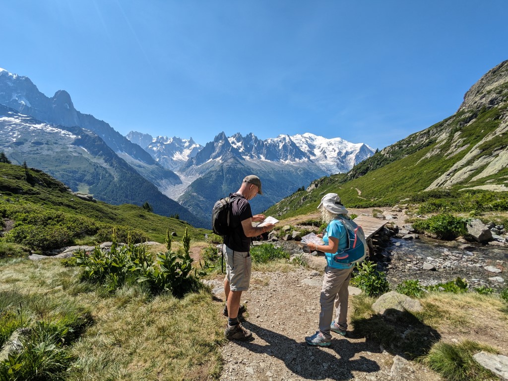
In the modern world, you rarely see anybody use a paper map and compass in the mountains. We have countless mapping apps, smart watches and other GPS devices to take the hard work out of finding your way. In many ways, this is a fantastic development, allowing more people to access the great outdoors with confidence. Yet even with all this technology, people still get lost. Navigation skills are evolving with new technology, but knowing where you are (and where you are going) is much easier with some background knowledge of maps and orientation. Whatever maps or devices you use, we firmly believe that solid navigation skills will keep you safer.
At White Marmotte, we’re not against using technology. We plan routes on laptops and navigate them on smartwatches, using a phone to make route changes while we’re out. We’re all in favour of embracing modern devices and navigation apps. Used well, they can increase enjoyment of the outdoors and reduce the chances of getting lost. What we do advocate is learning some navigation skills to complement the GPS. This will enhance your use of the technology, as well as providing a backup for if/when the technology ever lets you down. So the short answer is No, navigation skills are not obsolete. Navigation skills are changing, but they are still relevant for anyone venturing into the mountains.
While I mentioned Google Maps in the heading, there are other apps more suited to Outdoor navigation – I usually use Outdoor Active for example, but there are many more. When I reach a town, I’ll often switch to Google Maps to help find the accommodation I’ve booked or the nearest food shop, so it definitely has its uses.
The one thing that most navigation apps and devices have in common, from a car satnav to an outdoor oriented smartwatch, is that they provide a line on a screen for you to follow. Navigation skills allow you to look beyond that line and use the extra information provided by the mapping to gain more awareness of your surroundings.
10 reasons why navigation skills are still important in the age of Google Maps
1. Understanding the details
Whether the map you use is on a screen or on paper, understanding the symbols used lets you develop a mental picture of the terrain. Every piece of information shown represents something on the ground. So the more fluent you are in the language of the map, the more quickly you can build a picture of what’s around you.
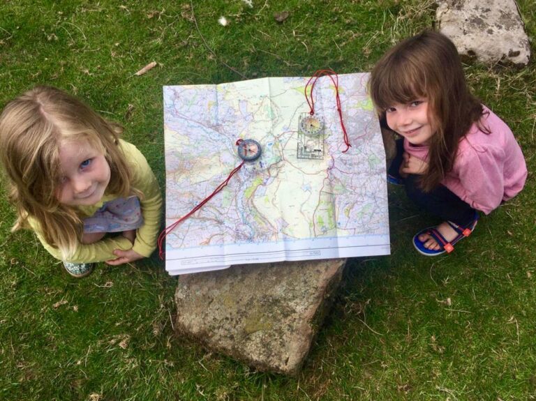
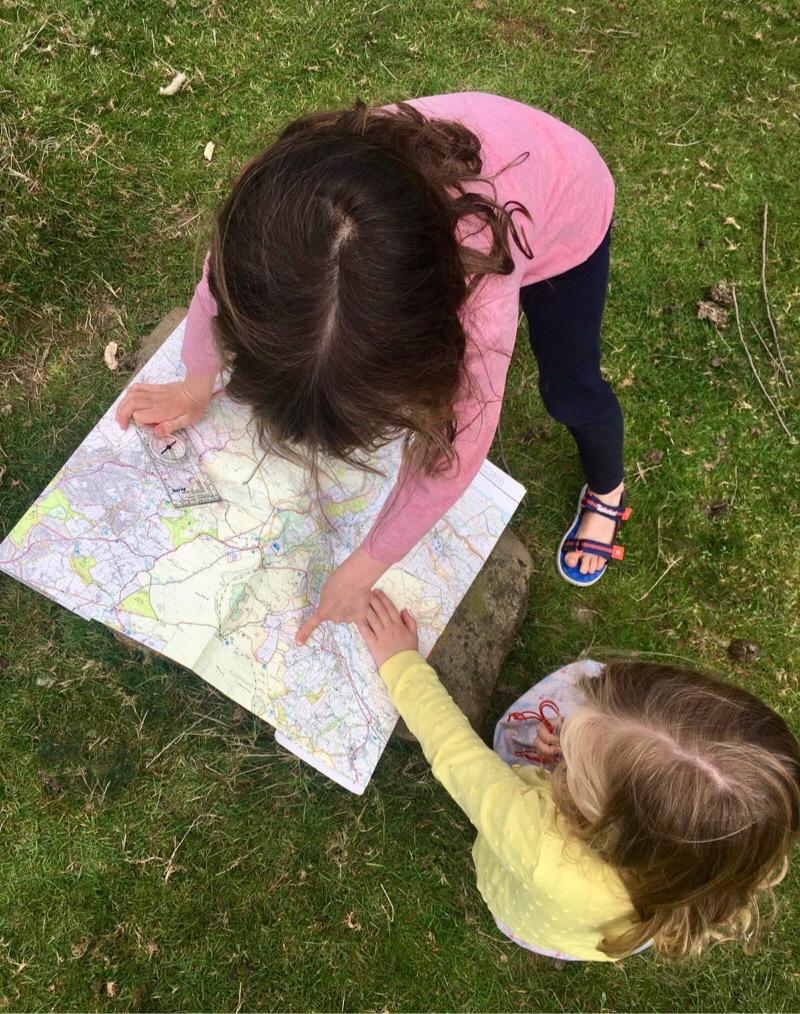
2. Planning is key
Before you set off on a hike, run, bike ride, or ski tour, you need to decide where you’re going. Unless you’re happy to always follow other peoples’ routes, you’ll want to be able to plan your own. Paper maps are great for this because you can unfold the map onto a table and see a lot more terrain at once. Whichever mapping you use, paper or digital, navigation skills will help you to plan an interesting and enjoyable route.
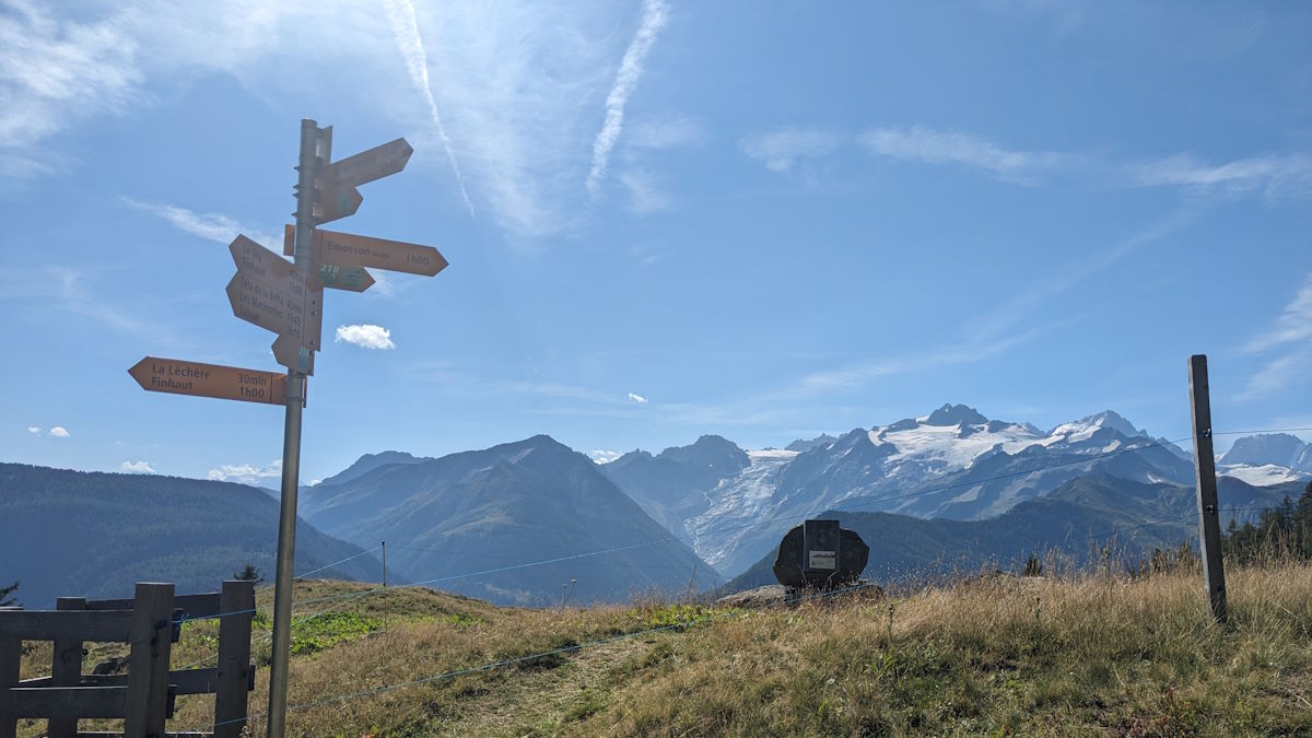
3. Know what’s coming up
Once you understand those symbols, you can look at the map and predict what you’ll encounter on your map – are you going uphill, or down? Along a ridge or through a valley? A quick glance can tell you what to expect in the next few kilometres, which leads us onto…
4. Map memory
If you study what’s ahead you can memorise the route and put away your map or device. You’ll learn to make a mental note of the important details to check off, and how to know if you’ve gone wrong. With the next few steps of the route memorised, you can lift up your head and enjoy the view.
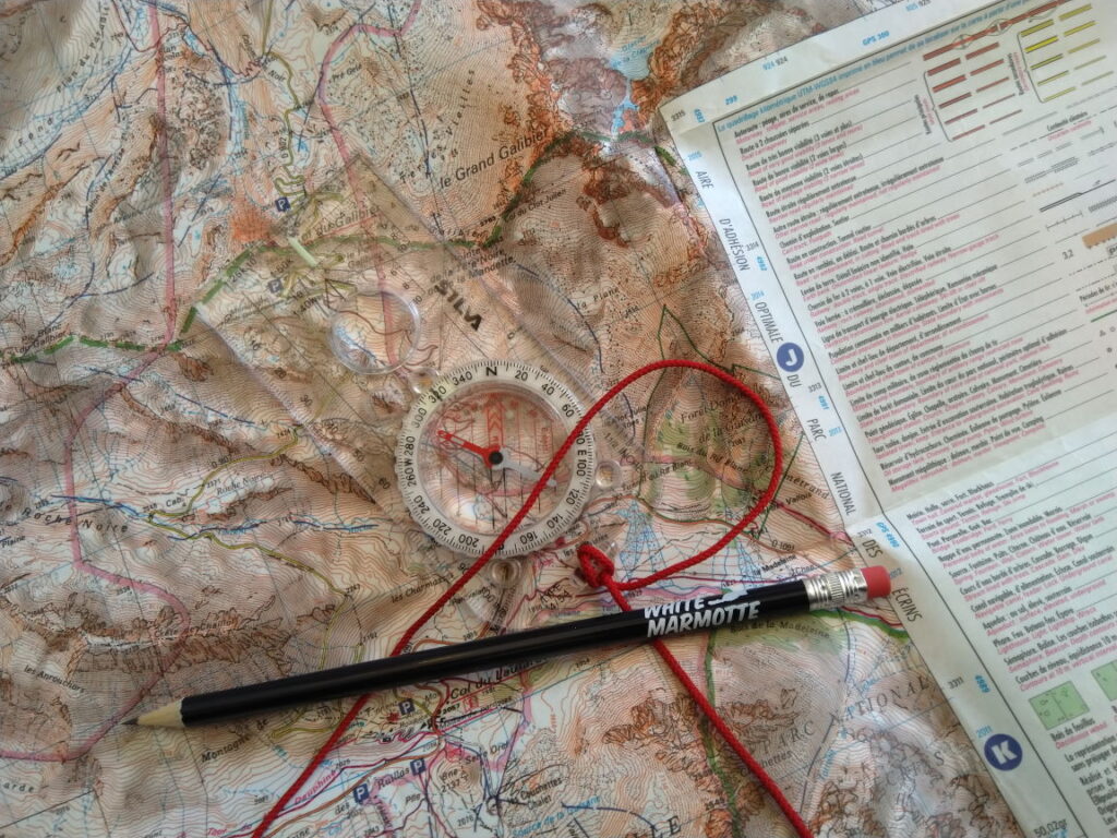
5. Contours, contours, contours
Contour interpretation is one of the most important navigation skills you can learn. Contours are the lines on the map that show the shape of the terrain, so understanding them tells you what form the landscape will take. Where are the mountains and valleys, ridges, gullies, cliffs, plains or canyons?
How steep are the slopes? Which way do they face? All this information is contained in the contour lines.
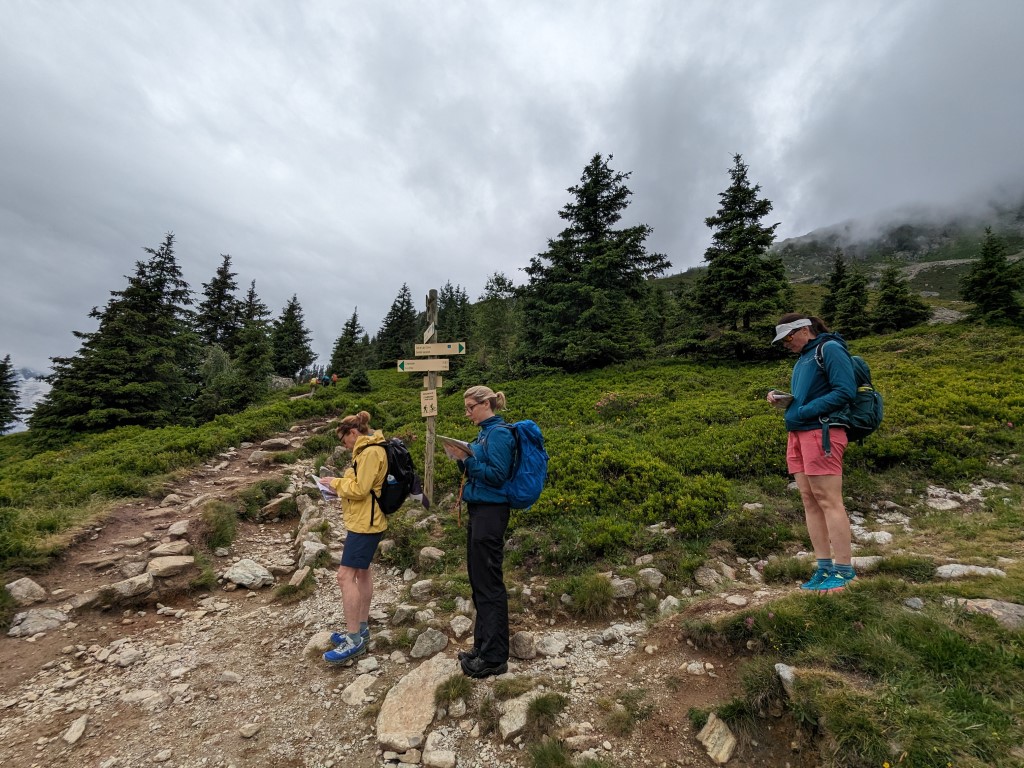
6. Changing plans
Perhaps the weather changes, or you take longer than expected, or one of the group is tired, cold, or unwell. Or perhaps you’re feeling good and have time to spare for an extra summit. There are many reasons why you might want to adjust the route part way through. But making changes takes a certain amount of navigational skill. You need the ability to look at the map image and say, “what if we take that path instead,” or “lets go down there to cut off a few kilometres.” Escape routes can be planned in advance, but route changes can also be done on the fly, but both approaches require some navigation skills.
7. Where is the shelter, where is the sun?
If it’s a wild windy day, an exposed ridge is not the place to be. Shelter and improved visibility can often be found in lower areas and forests. Leeward slopes are more sheltered than windward ones. On a mild, sunny day you might seek out the sunniest, warmest terrain, but during a heatwave you might be looking for the shadier slopes. Using the weather forecast along with a map and your navigation skills you’ll be able to work out the best places to be on a given day.
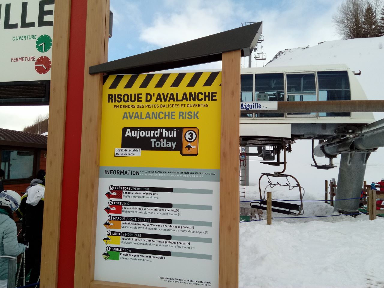
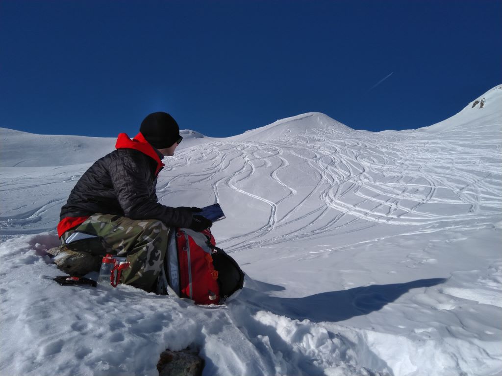
8. What will the snow be like?
If you’re navigating on snow, whether in winter, at altitude, or in the far north or south, you’ll need to be aware of the quality of the snow. And the snow changes depending on the altitude, the steepness, and the aspect of the slope. This can be crucially important for assessing avalanche risk, but it also has a big impact on what the snow is like to walk or ski on. Skiers and snowboarders want to know where to find powder or spring corn. For hikers and snowshoers, snow that is too soft makes progress very slow, but an icy surface can be dangerous on steep slopes. Again, combining map-reading with weather and avalanche forecasts will help you find the best places to go.
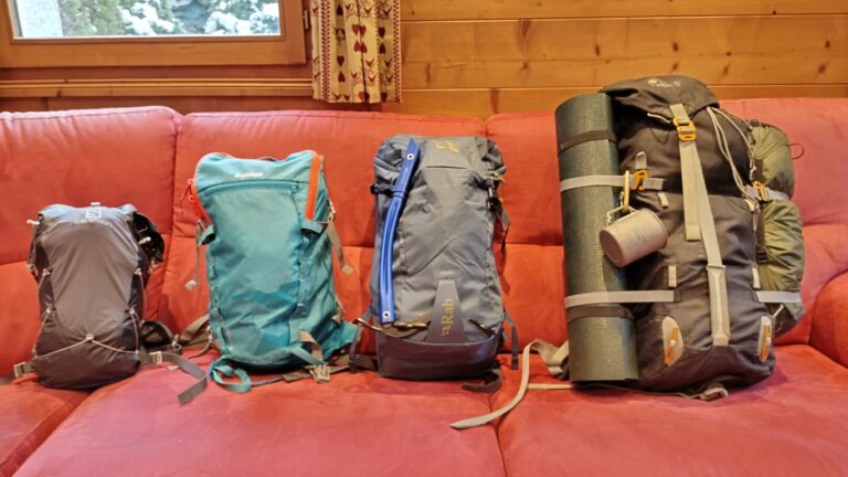
9. Devices can fail
This point is perhaps the most obvious. It’s also the first point where we’re talking about having navigation skills as a backup, rather than as a complement to modern technology. Modern phones can drain their batteries quickly, especially in cold weather. Other devices can also run out of power. It’s generally a good idea not to rely on a single device for navigation and communication. Even more so if you’re also using it to take photos and check the weather forecast. Imagine running your battery down to the point where you can’t navigate off the mountains and can’t phone mountain rescue either.
On a related note, software glitches and other issues can pop up unexpectely. These problems might be rare, but it is still good to have other options such as your own navigation skills and a map or another device with mapping.
10. GPS doesn’t always work either
The GPS network itself is not 100% reliable. It can even be turned off for various reasons such as military exercises. Not all apps will tell you when they don’t have a GPS signal – some will just make their best guess based on nearby cellular or wifi networks. If you know how to navigate, you can work around these issues. Otherwise, when the line on the screen stops working you can be in trouble. I’m sure many of you have been in the situation where a device just wouldn’t connect to GPS.
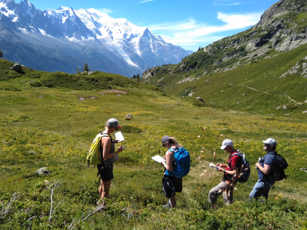
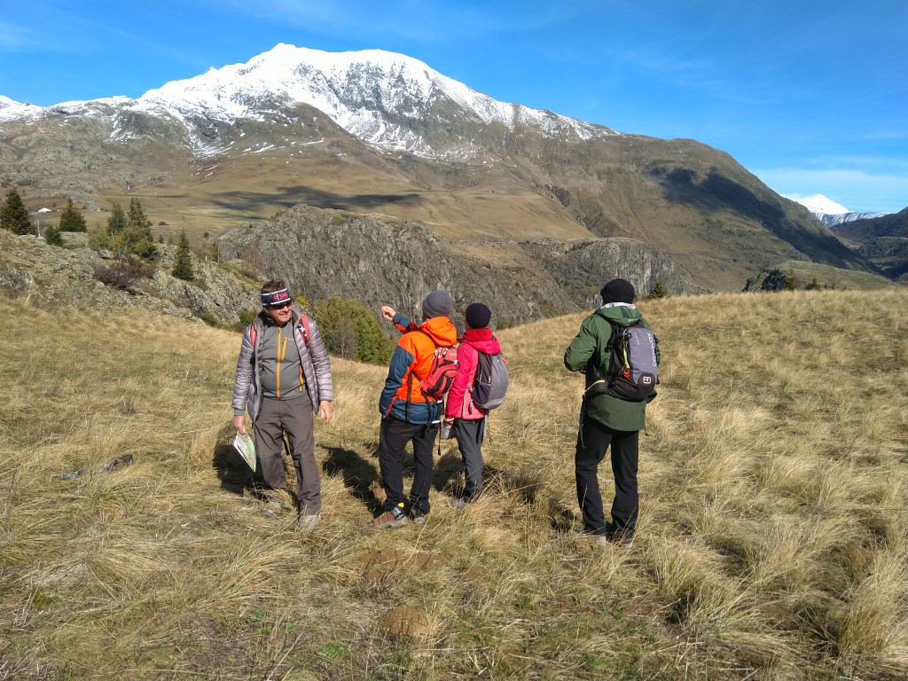
Navigation courses
If you’re looking to improve your navigation skills, take a look at our Stage de compétences en trekking, run in the Chamonix valley in late-June at the start of the summer trekking season. We cover navigation as well as mountain weather, trip planning, equipment, contingency planning, moving on steep ground, emergency ropework and more. We’re also an approved provider of NNAS courses, such as the Bronze and Silver Navigator awards – see our Navigation School pages pour plus d`information.